
← Back to Field journal
Field visual 01
Aerial polder engineering, seen from above
Wide and top-down views of the polder layout, active fields and the river intake that feeds them.
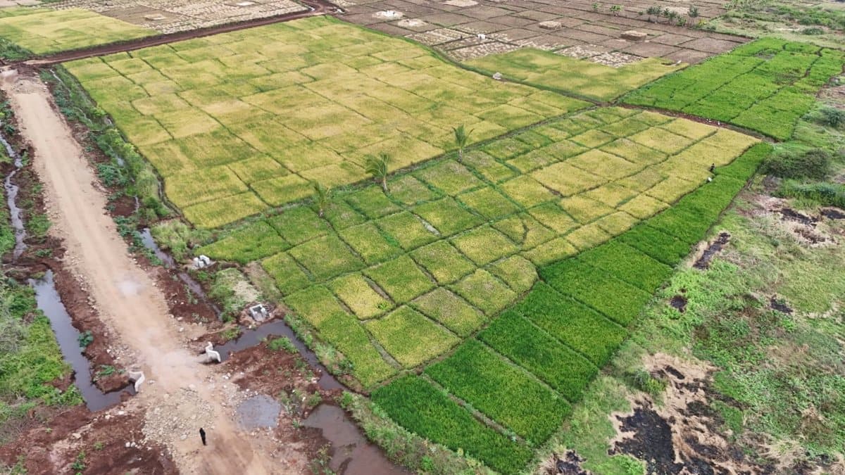
An aerial view over gridded paddy plots, a feeder canal and the access road that services them: this is what polder-scale rice production looks like from above.
The finished gallery will add more of this vantage point across the project: Polder 1's full layout from drone height, the main Tana River intake structure and the primary feeder canal that carries water into the distribution system.
We will publish confirmed Iconium field photography here as it becomes available, alongside images like this one.